 Cres Ian Lorenzo
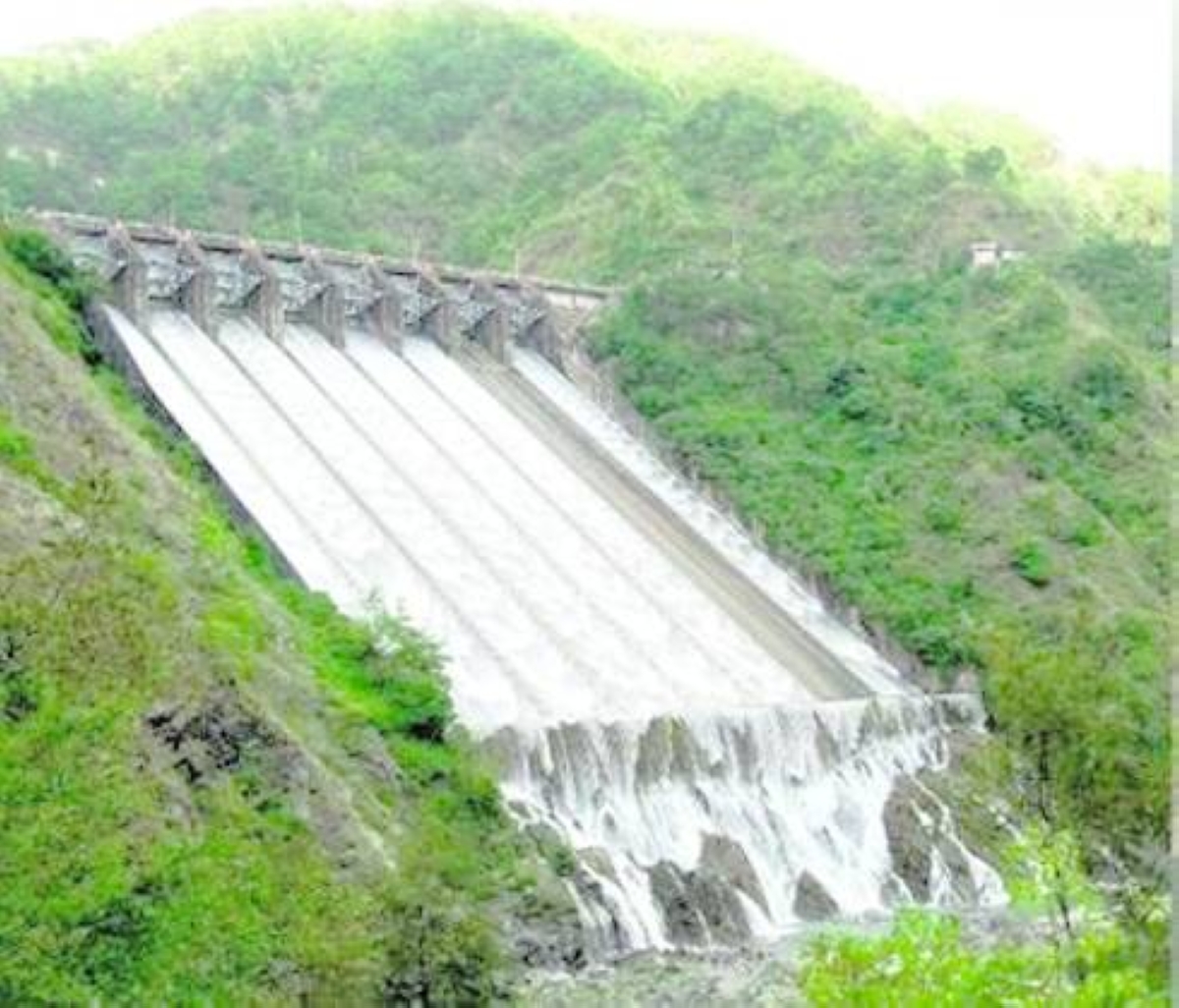
THE provision of information on the water level of dams by the Philippine Atmospheric, Geophysical and Astronomical Services Administration (Pagasa) remains a critical input on when water can be released, and how downstream communities, including those into agriculture, can prepare or take precautions.
Pagasa, an agency under the Department of Science and Technology (DOST), monitors six major dams across the country: Angat Dam in Bulacan; Binga Dam and Ambuklao Dam in Benguet; San Roque Dam in Pangasinan; Pantabangan Dam in Nueva Ecija; and Magat Dam, which serves areas in Isabela and Ifugao.
Rosalie Pagulayan, Assistant Weather Services chief at Pagasa’s Hydro-Meteorology Division and chief of the agency’s Flood Forecasting and Warning Section, pointed out that rainfall is one of the most important pieces of information in this equation.
“The number one precursor to flooding and even to the filling of our dams is rainfall,” she said.
She emphasized that Pagasa does not simply provide one forecast and step away.
During critical weather conditions, the country’s weather bureau continuously feeds dam operators with updated weather and rainfall forecasts and hydrometeorological to read information, particularly the downstream water level of the dam.
“We never stop providing rainfall forecasts because this information is crucial to our dams. It is a continuous process,” she said.
But opening a dam’s gates is not a decision made simply because rain is heavy.
Behind every release is a continuing process of monitoring, forecasting, computation, coordination, and public warning — one that can begin well before a reservoir reaches a critical level. The goal is not simply to release water, but to manage it carefully and give communities downstream enough time to prepare.
At the same time, Pagasa monitors what is happening along river systems, including downstream conditions of dams. This information becomes especially important when a dam may need to release water.
“For example, if the rainfall is really heavy and a release is necessary. One of the factors they also consider is the downstream conditions,” Pagulayan said.
Collaborative activity
Pagulayan described the dam operation as a collaborative activity. Pagasa provides meteorological conditions across the watershed, forecast rainfall, and information from monitoring facilities along river systems, while dam operators use these alongside their own operational data and forecasting tools.
The collaboration becomes more structured when conditions indicate that water releases could affect communities downstream.
Pagulayan explained that dams have identified target areas that may be heavily affected by water releases. Before conditions reach the point where a release becomes imminent, Pagasa begins the warning process through its Flood Forecasting and Warning System for Dam Operation (FFWSDO).
“Before conditions reach that point, or as they are approaching that point, we activate the system,” she said.
This early warning is critical because water released from a dam does not disappear.
It moves downstream, potentially adding to the volume already flowing through rivers and affecting communities located along the river system.
But even with technology and forecasting, dams have physical limits.
Pagulayan said that dams are designed to withstand a particular level and volume of water. Going beyond their designed limits can compromise the safety and structural stability of the reservoir.
Recalling an extreme rainfall event in the Pangasinan province, Pagulayan described a situation in which the inflow was so strong that the dam had to open its gates widely to release water.
For communities downstream, however, the opening of dam gates should not be viewed as an isolated event. It is part of a larger chain of science-based monitoring and communication — from rainfall observations in the watershed, to forecasts, inflow estimates, river monitoring, dam operations, and ultimately warnings delivered to local authorities and communities.
Pagulayan noted that the dissemination of Pagasa’s flood warning information and dam operator’s dam discharge warning information at the local level is structured so that it will directly reach the concerned local government units (LGUs) from the provincial, municipal levels down to the barangay levels.
Both Pagasa and dam operators provide their respective warning information directly to the LGUs where they operate. The same information is also provided to the National Disaster Risk Reduction and Management Council (NDRRMC) head office.
Pagulayan also emphasized that the warnings issued by Pagasa are intended primarily for the early actions of the community, ensuring their safety from hydrometeorological hazards.
She added that questions or concerns regarding the warnings are welcome to be raised with the agency for clarification.