 Cres Ian Lorenzo
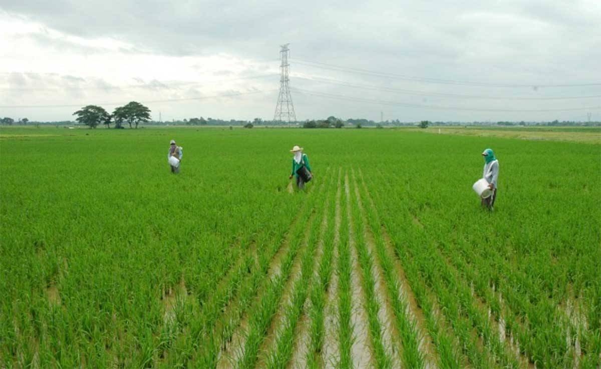
MUÑOZ, Nueva Ecija — For rice farmers facing El Niño, the question is no longer only when the rain will stop. It is also where the damage is likely to be worst, and how much of the harvest can still be saved.
That is the focus of climate-smart maps developed by the Philippine Rice Research Institute (PhilRice). The maps are meant to help farmers and local government units (LGUs) reduce production losses by matching planting decisions to local drought risk.
The Vulnerability Risk Assessment (VRA) maps bring together three kinds of information: exposure to drought, sensitivity of the crop, and the capacity of farmers to adapt. Together, they show which areas are more likely to lose rice production when water becomes scarce.
“The maps use color-coded levels to guide agricultural stakeholders in identifying suitable measures to address potential water shortages,” Jesusa Beltran, scientist and head of PhilRice’s Rice Data Analytics Center, said.
Through the maps, Beltran said, farmers can better understand their vulnerability level and the actions they can take.
“For local government units, the maps serve as a guide for agricultural planning and the delivery of timely support,” she added.
The color levels translate into different actions, depending on assessed risk.
“In areas marked green, or less vulnerable, farmers may proceed with rice planting while adopting water-saving technologies such as alternate wetting and drying, and monitoring weather advisories,” said Ailon Oliver Capistrano, PhilRice agronomist.
In areas marked yellow, or moderately vulnerable, farmers are encouraged to coordinate with their LGUs on adjusted planting calendars, secure crop insurance, and consider early-maturing, drought-tolerant varieties such as NSIC Rc 480 and Rc 564.
In areas marked orange, or high-risk, farmers may temporarily diversify into less water-intensive crops such as corn, mungbean, watermelon, and pechay.
In areas marked red, or severely vulnerable, farmers may need to postpone rice planting and explore alternative livelihood activities, including livestock raising.
The point, PhilRice said, is to avoid planting rice where water is unlikely to last, and to protect income by shifting earlier to another crop rather than after a rice cropping has failed.
Beyond mapping risk, PhilRice is urging farmers to use methods that save water and withstand changing climate conditions. These include planting seed directly in the field, using irrigation powered by the sun, collecting rainwater, and combining crops and livestock in systems like Palayamanan and Rice-Duck Farming.
To bring those ideas to villages, PhilRice has started the #RiceReadySaElNino campaign in two towns in Nueva Ecija. It is also holding one-day preparedness meetings for farmer groups across the country.
The learning activities are being carried out under the Rice Business Innovations System program. PhilRice expects the effort to reach over 50,000 rice farmers, building on earlier farmer education work such as Lakbay Palay.
During the sessions, farmers are guided in checking conditions in their own areas, choosing technologies that fit those conditions, and working with LGUs to obtain help with irrigation, quality seeds, and technical assistance.
For farmers, the maps do not remove the risk of El Niño. They change how that risk is handled: by deciding earlier, planting what the water can support, and keeping losses from becoming total losses.